

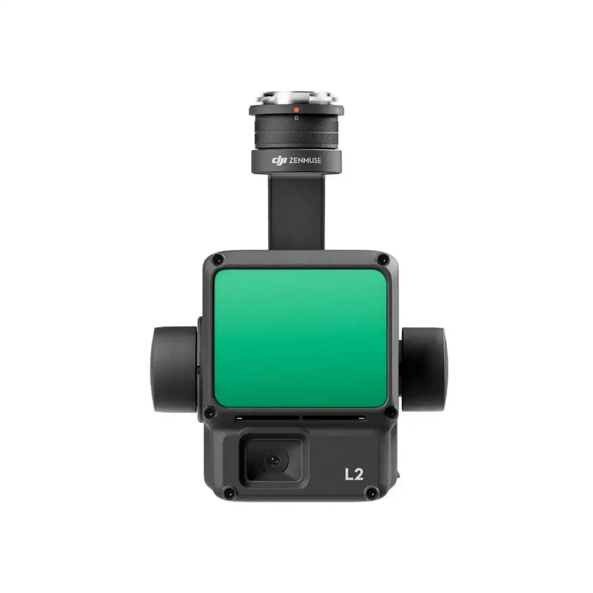
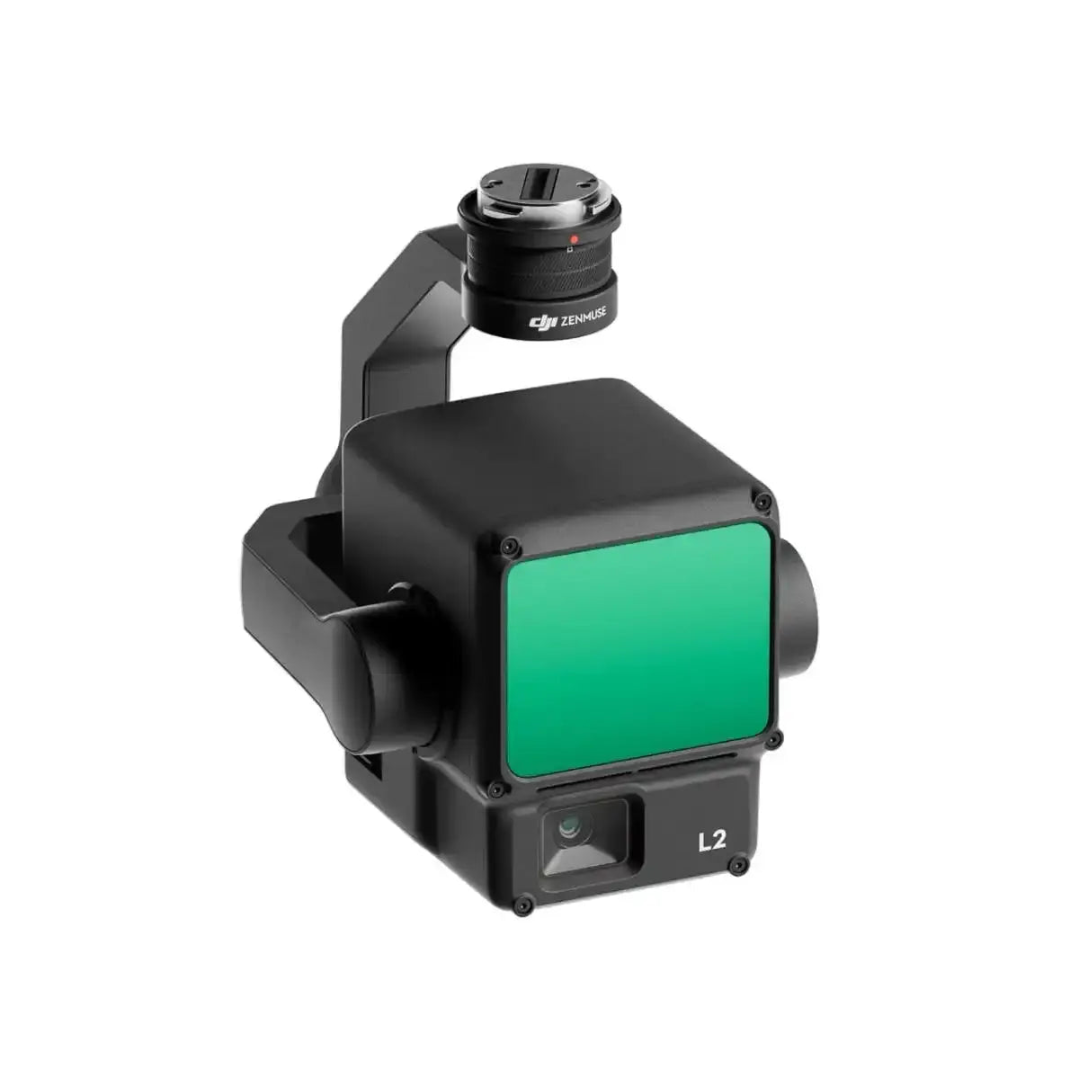
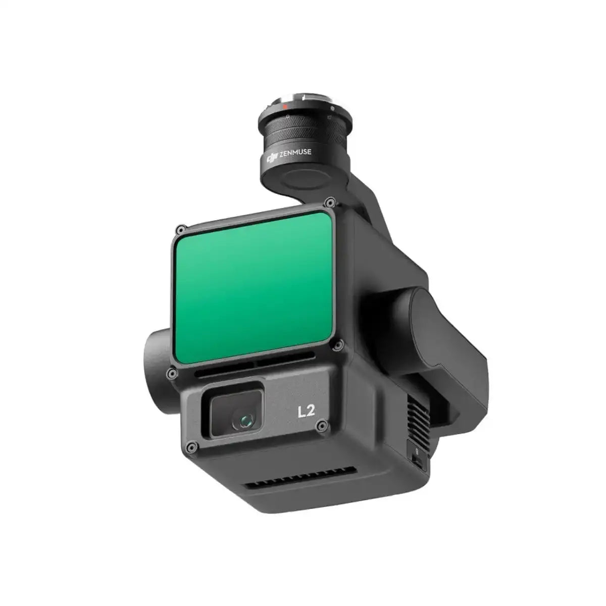
DJI Zenmuse L2 LiDAR Camera with Care Enterprise Basic
Pairs well with
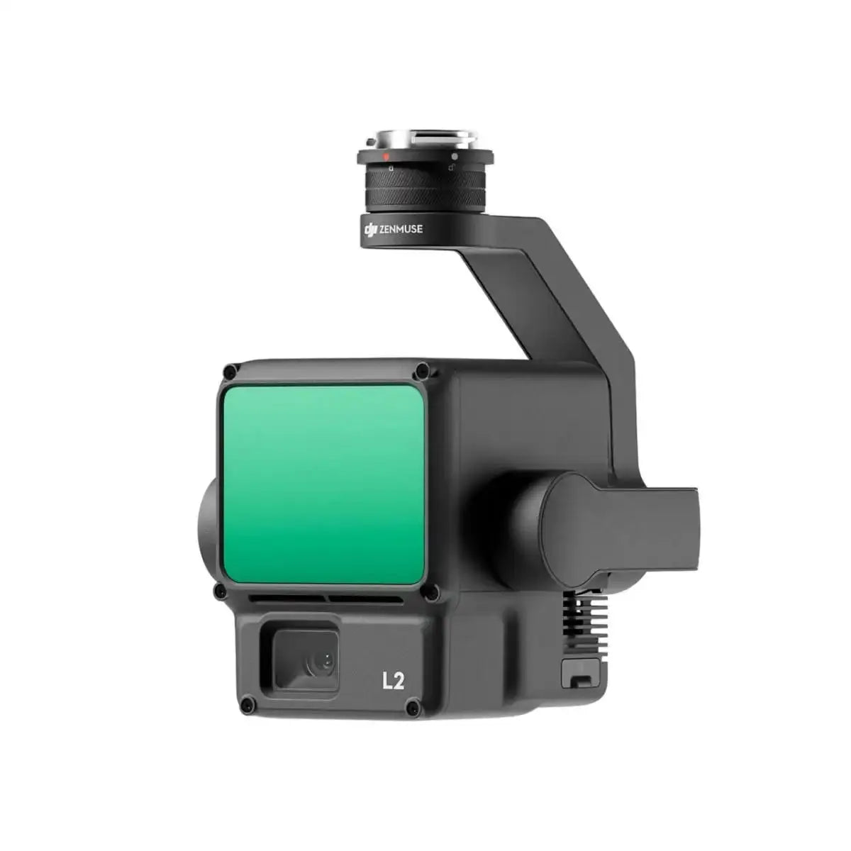
DJI Zenmuse L2 LiDAR Camera with Care Enterprise Basic
Description
- 4-cm vertical accuracy
- 5-cm horizontal accuracy
- Collects data from a 2.5km² area in 1 flight
- 250m/450m Detection range
- 5 Returns
- Turnkey solution
- Point Cloud LiveView
- One-click processing on DJI Terra
- Includes DJI Care Enterprise Basic with up to 2 paid replacements offered within 1 year after product is activated

The DJI Zenmuse L2 is an advanced LiDAR system, building upon the success of its predecessor, the Zenmuse L1. It offers improved features, including an enhanced RGB camera, upgraded LiDAR module, and enhanced accuracy, making it a valuable tool for professionals.
Increased hardware power and efficiency
The Zenmuse L2 leverages aerial LiDAR technology to provide efficient and precise 3D data acquisition for professionals in various fields, such as land surveying, mapping, electricity inspection, forestry, and infrastructure management.
It significantly reduces workload and field measurement time while improving detection efficiency.
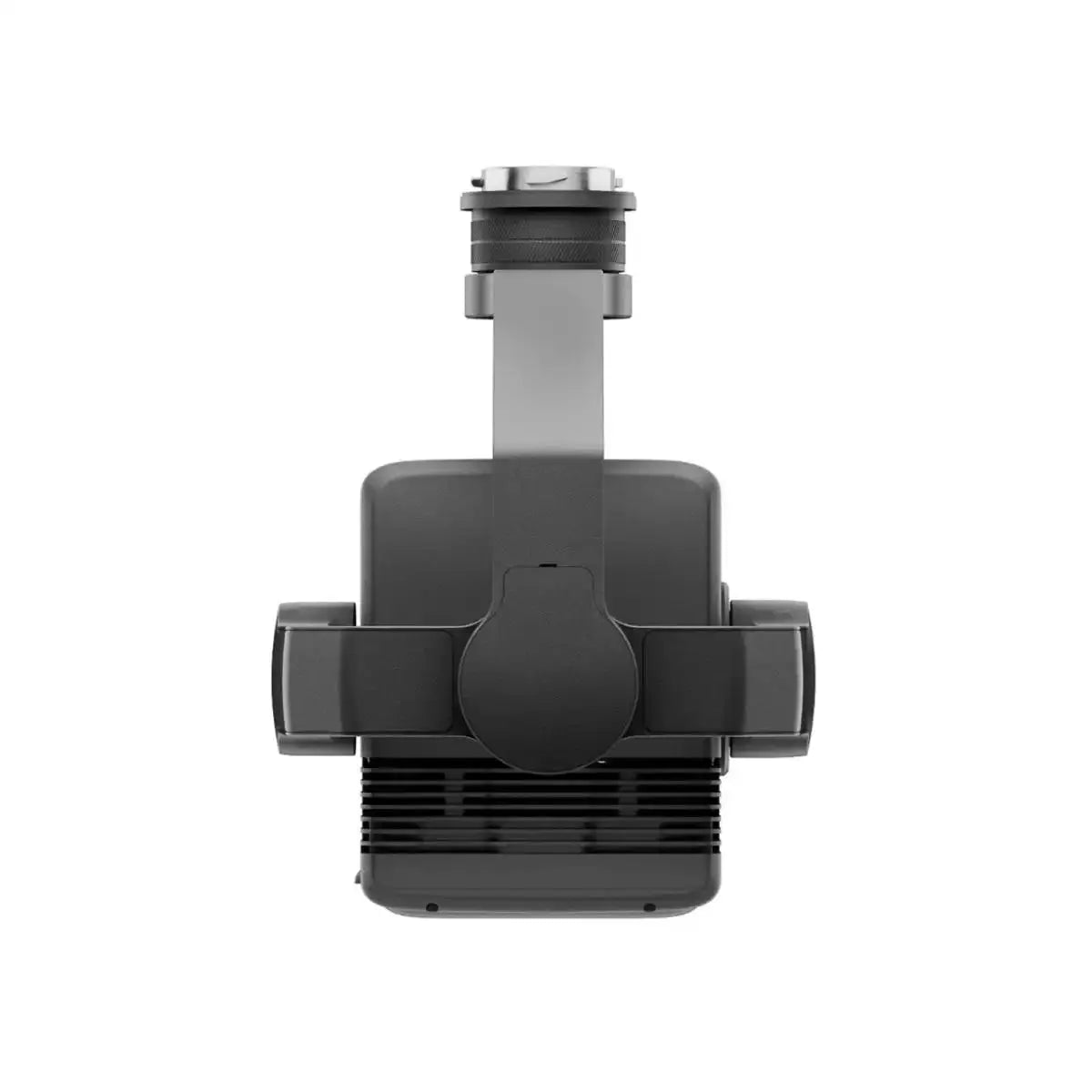
Perfect for DJI Matrice 300/350 RTK
The Zenmuse L2 incorporates a high-accuracy IMU system and integrates seamlessly with DJI Matrice 300 RTK and Matrice 350 RTK drones.
This combination delivers accurate and efficient data collection while enhancing in-the-field experiences with immediate readiness and high precision.
Improved detection range and safety
With a 30% increase in detection range compared to its predecessor, the Zenmuse L2 enhances operational safety and efficiency. It detects objects from greater distances, has a reduced spot size for more detailed data, and supports multiple return modes for enhanced data acquisition.
Enhanced imaging and reduced operational costs
The Zenmuse L2 features an upgraded RGB mapping camera with improved imaging and colorized point cloud details.
It offers reduced photo intervals, extended shutter life, and the ability to capture photos and videos, even when point cloud data isn't necessary.
Software for control and data processing
DJI Pilot 2 software offers various display modes and real-time monitoring options, enhancing control during operation. It provides access to distance information and supports real-time point cloud coloring.
Additionally, it can generate route operation quality reports and offers point cloud processing.
One tool, multiple use cases
The Zenmuse L2, in combination with DJI Matrice 300 RTK or Matrice 350 RTK drones and DJI Terra software, is suitable for various industries. It excels in applications such as topographic mapping, forestry, and electricity inspection, offering efficient data collection and analysis for diverse scenarios.
More protection with DJI Care Enterprise
This DJI Zenmuse L2 Lidar Camera with Care Enterprise Basic package comes with 1-year coverage of DJI Care Enterprise Basic Plan.
The plan includes water damage coverage, 2 low-cost replacements, DJI Care Express, and free two-way shipping.
Specifications
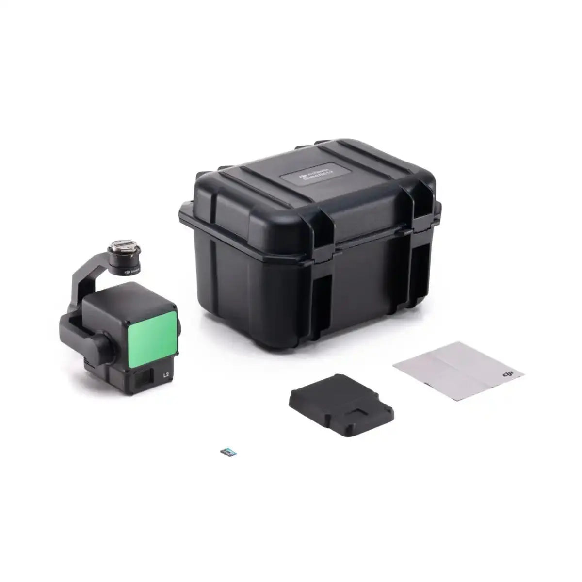
In The Box
If you have any questions, we are always here to help. From product information and recommendations to tech support, UAV Tactical has you covered.
Shipping Information
UAV Tactical provides fast and free shipping on all orders inside the United States.
Customer Support
If you need any help or product information, contact us at 239-402-4100.
Contact Us
Want to drop us an email? We would love to hear from you. Email us any time at heather@uavtac.com